Log in
All resources
Create a design
770 Free Images of 1870 Maps
maps from the earth and its inhabitants, vol. iv
the comprehensive history of england (1876)
english-language maps showing history
1870s maps showing history
géographie générale; physique, politique et économique (1876)
1870s maps of london
1870s maps of the british isles
1870s maps of scotland
maps from the earth and its inhabitants, vol. xiv
1870s maps of australia
1870s maps of the caucasus
g. h. swanston
1870s maps of the caucasus
g. h. swanston
gemeente atlas van nederland - drenthe
maps of de wolden
géographie générale; physique, politique et économique (1876)
1870s maps of china
the comprehensive history of england (1876)
english-language maps showing history
utagawa kuniteru ii
ukiyo-e
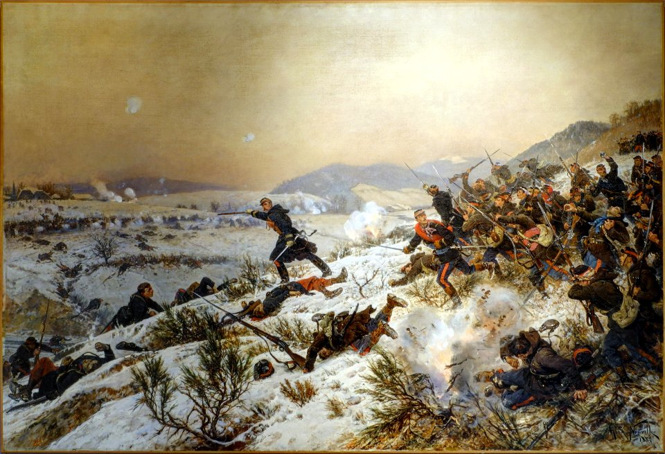
old maps of the franco-prussian war
alfred quesnay de beaurepaire
history of yokohama
maps of yokohama
maps from the earth and its inhabitants, vol. iv
topographic maps of the united kingdom
maps from the earth and its inhabitants, vol. iv
topographic maps of ireland
maps from the earth and its inhabitants, vol. xiv
1870s maps of new zealand
french-language maps of south africa
1876 maps of africa
1876 maps of north america
1876 maps of the caribbean
maps, prints and photographs in royal danish library
photographs by peter most
old maps of the sinai peninsula
1870s maps of palestine
the comprehensive history of england (1876)
english-language maps showing history
maps from the earth and its inhabitants, vol. iv
maps of glenmore
australia (1873) by booth
1870s maps of australia
the comprehensive history of england (1876)
english-language maps showing history
the comprehensive history of england (1876)
english-language maps showing history
the comprehensive history of england (1876)
english-language maps showing history
the comprehensive history of england (1876)
english-language maps showing history
the comprehensive history of england (1876)
english-language maps showing history
the comprehensive history of england (1876)
english-language maps showing history
gemeente atlas van nederland - groningen
maps of noordbroek
gemeente atlas van nederland - groningen
maps of hoogezand
maps from the earth and its inhabitants, vol. iv
glenroy, scotland
transvaal gold fields
glossinidae
maps from the earth and its inhabitants, vol. iv
illiteracy in the united kingdom
nouvelle géographie universelle, vol. i
1870s maps of europe
maps from the earth and its inhabitants, vol. iv
1870s maps of london
maps from the earth and its inhabitants, vol. xiv
1870s maps of indonesia
maps from the earth and its inhabitants, vol. iv
linguistic maps of ireland
maps from the earth and its inhabitants, vol. iv
1870s maps of london
maps from the earth and its inhabitants, vol. xviii
1870s maps of peru
maps from the earth and its inhabitants, vol. vii
1870s maps of japan
maps from the earth and its inhabitants, vol. iii
1870s maps of switzerland
maps from the earth and its inhabitants, vol. iv
maps of tides
maps of borders of ecuador
1870s maps of ecuador
maps from the earth and its inhabitants, vol. iv
1870s maps of london
maps from the earth and its inhabitants, vol. xiii
1870s maps of africa
maps from the earth and its inhabitants, vol. xiv
1870s maps of indonesia
maps from the earth and its inhabitants, vol. iv
1870s maps of scotland
maps from the earth and its inhabitants, vol. iv
public transport maps of london
maps from the earth and its inhabitants, vol. iv
1870s maps of scotland
maps from the earth and its inhabitants, vol. iv
old maps of the river thames
maps from the earth and its inhabitants, vol. xviii
1870s maps of peru
maps from the earth and its inhabitants, vol. iv
drainage basin maps of the united kingdom
maps from the earth and its inhabitants, vol. iv
precipitation maps
maps from the earth and its inhabitants, vol. iv
1870s maps of wales
géographie générale; physique, politique et économique (1876)
19th-century maps of bretagne
plans of the palace and gardens of schönbrunn
baroque
maps from the earth and its inhabitants, vol. x
maps with nicolosi globular projection
1870s maps of vienna
guides joanne
gemeente atlas van nederland - south holland
maps of alkemade
géographie générale; physique, politique et économique (1876)
1876 maps of germany
géographie générale; physique, politique et économique (1876)
old maps of the pyrenees
géographie générale; physique, politique et économique (1876)
1870s maps of liguria
19th-century maps of nicaragua
1870s maps of central america
maps from the earth and its inhabitants, vol. iv
1870s maps of london
australia (1873) by booth
1870s maps of australia
old maps of europe
achille belloguet
uncategorized images of the rijksmuseum
ludwig willem reymert wenckebach
maps of uithuizermeeden
oldenzijl
the bottom of the sea (1870)
maps of submarine cables
maps of the battle of the nile
battle of alexandria
the comprehensive history of england (1876)
english-language maps showing history
the comprehensive history of england (1876)
english-language maps showing history
the comprehensive history of england (1876)
english-language maps showing history
the comprehensive history of england (1876)
english-language maps showing history
the comprehensive history of england (1876)
danube in 1704
the comprehensive history of england (1876)
english-language maps showing history
the comprehensive history of england (1876)
english-language maps showing history
maps from the earth and its inhabitants, vol. iii
maps of the sava watercourse system
maps from the earth and its inhabitants, vol. iv
queensferry crossing
1870s maps of venezuela
1878 in venezuela
maps from the earth and its inhabitants, vol. xvii
old maps of washington, d.c.
maps from the earth and its inhabitants, vol. vii
linguistic maps of chinese languages
maps from the earth and its inhabitants, vol. iv
sewers in london
maps from the earth and its inhabitants, vol. xvii
1870s maps of florida
semeuse stamps on covers and postcards (5c)
postcards of charleville-mézières
the comprehensive history of england (1876)
english-language maps showing history
19th-century maps of nicaragua
bedford pim
maps from the earth and its inhabitants, vol. iv
1870s maps of london
australia (1873) by booth
1870s maps of australia
géographie générale; physique, politique et économique (1876)
1870s maps of australia
géographie générale; physique, politique et économique (1876)
1870s maps of the atlantic ocean
géographie générale; physique, politique et économique (1876)
19th-century maps of the nile river
géographie générale; physique, politique et économique (1876)
1870s maps of austria
géographie générale; physique, politique et économique (1876)
19th-century maps of java
the bottom of the sea (1870)
distance
tone-mapped hdr images of belfort
academic art
den danske hærs historie til nutiden og den norske hærs historie indtil 1814
1870s maps of denmark
den danske hærs historie til nutiden og den norske hærs historie indtil 1814
1870s maps of denmark
the comprehensive history of england (1876)
english-language maps showing history
1877 maps of the united states
1870s maps of utah
maps from the earth and its inhabitants, vol. xvii
1870s maps of the united states
maps from the earth and its inhabitants, vol. xvii
1870s maps of the united states
maps from the earth and its inhabitants, vol. iii
1870s maps of berlin
maps from the earth and its inhabitants, vol. xi
1870s maps of algeria
401 - 500 of 770
Next page
/ 8